Tag: Charts

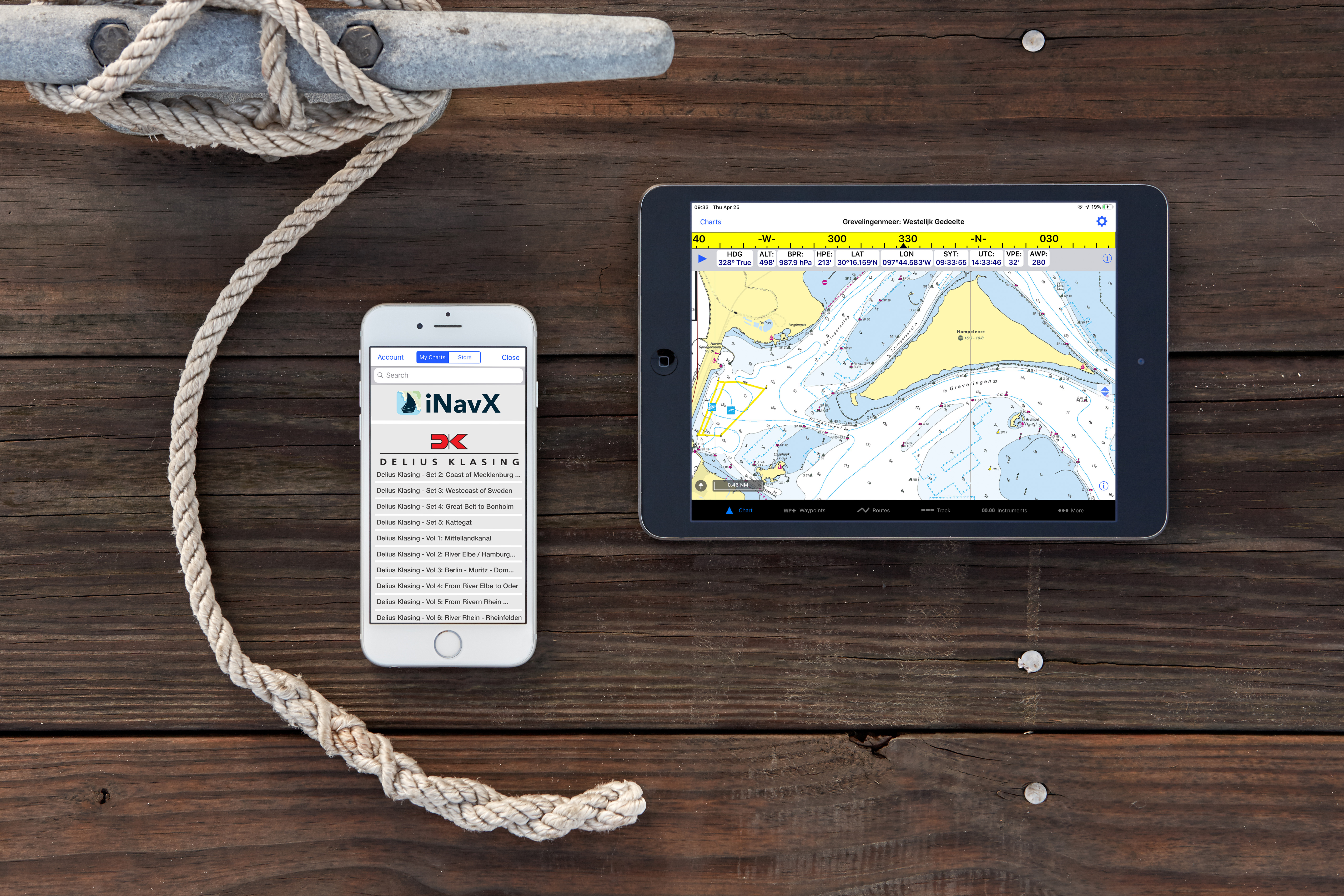
Delius Klasing European chartsNow available in the iNavX app iNavX the leading marine navigation app now provides access to Delius Klasing’s detailed digital charts for European inland waterways and sea charts. iNavX is the only marine navigation app to offer a full suite of worldwide charts from multiple chart providers that include NOAA raster charts, Navionics vector charts, Blue […]


