Category: Navigation

by B.J. Porter (Contributing Editor) Every summer there are a lot of great things you can enjoy from your boat. Fireworks displays, concerts, major sailing events, air shows, on-water rallies and parties, and other on the water spectacles make for a really fun summer day. Unless something goes wrong. And that can be anything from […]
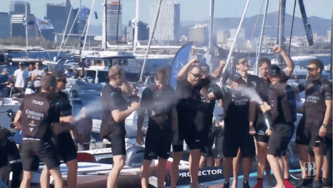
by B.J. Porter (Contributing Editor) “Your Majesty, there is no second.” Supposedly said in response to Queen Victoria, when she asked who was in second place behind the yacht America in 1851 in the first race for the 100 guinea cup. In the last few months, we went through a lot of the basic materials […]

by B.J. Porter (Contributing Editor) The other day we were browsing in a marine store for a new PFD and got a look at the new labeling on life jackets. Like many of you, I’d heard about the new rating and standards and the elimination of the old “Type” classifications. But PFDs aren’t something you […]
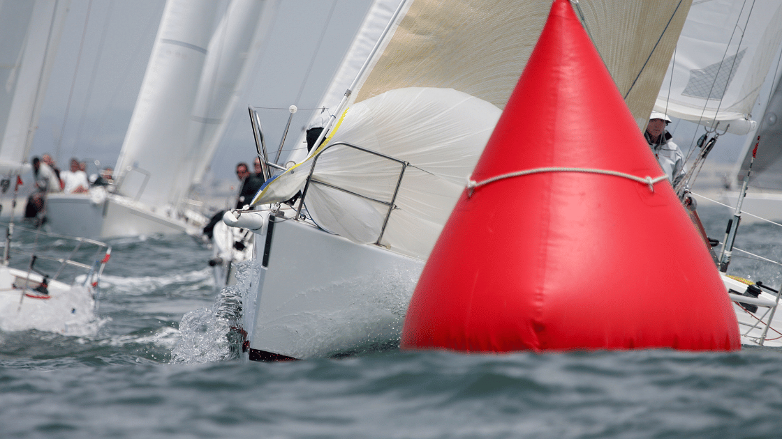
Part1 – Intro to Racing: Making Sense of the Start by B.J. Porter (Contributing Editor) “The chance of mistakes are about equal to the number of crew squared.” – Ted Turner If you thought the start was fun, wait until you come into your first mark rounding! Imagine all those boats milling around at […]

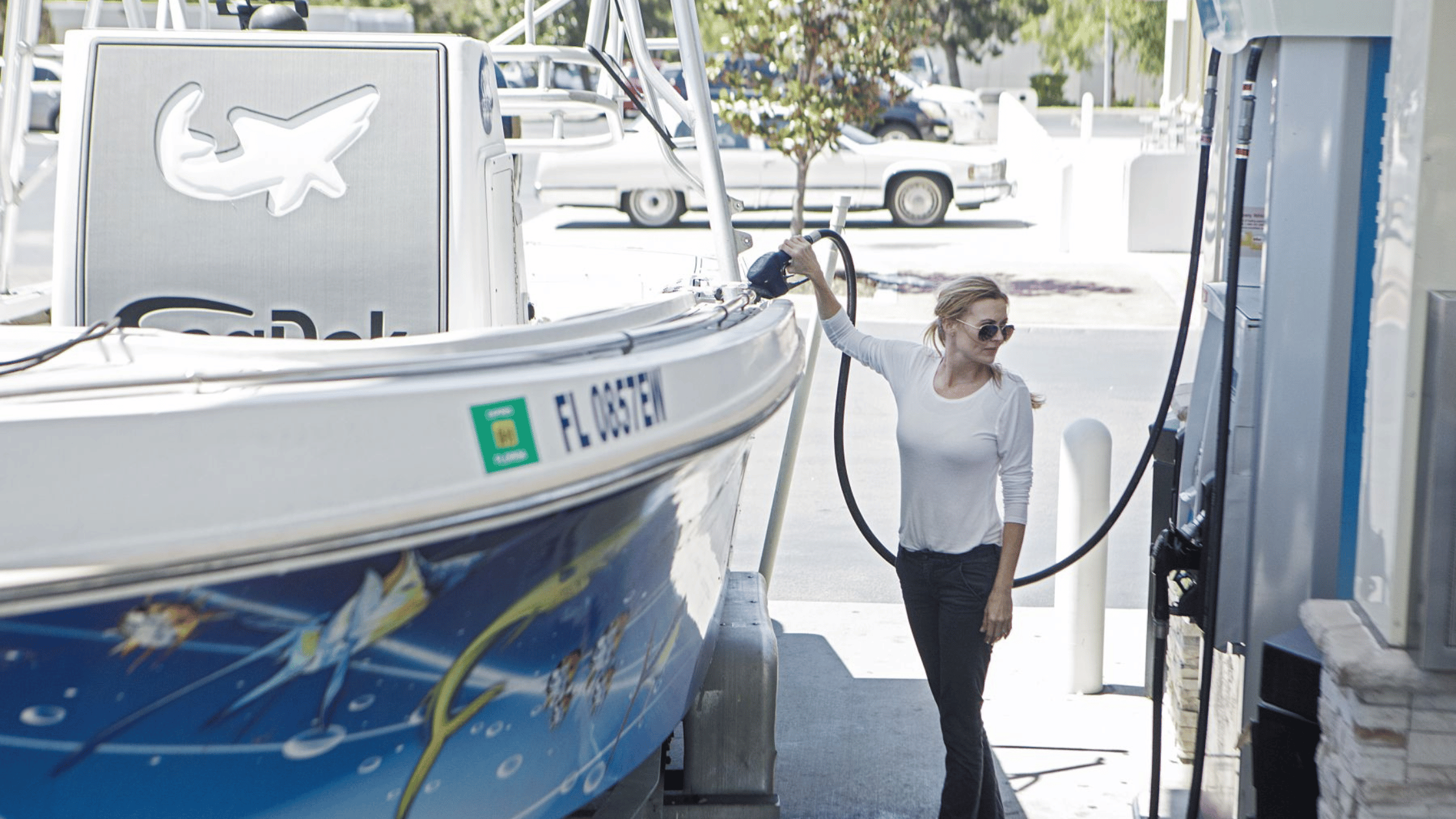
by B.J Porter (Contributing Editor) When considering boat ownership, everyone looks at the costs. And a very common question is, “Can I take a few paying people out on my boat or rent it out when I’m not using it to offset some of these costs?” The quick answer to this is “maybe,” because there […]
by B.J Porter (Contributing Editor) Boater’s Guide to Engines: The Internal Combustion EngineBoater’s Guide to Engines II: The Four-Stroke Engine If the first installments, we talked about how the internal combustion engine works and got into more detail about four-stroke engines. That gives us a good foundation for our next topic: the diesel engine. You […]
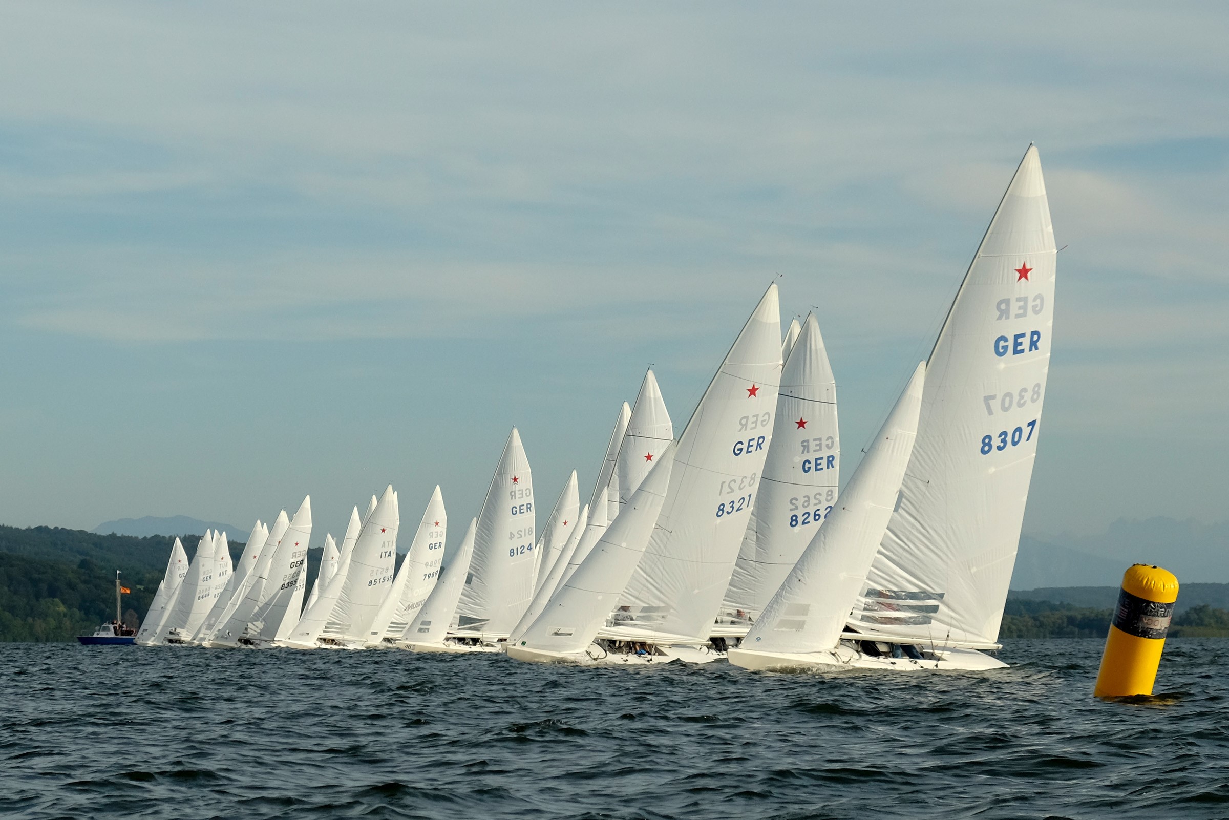
by B.J. Porter (Contributing Editor) The first time you go through a start sequence in a race may leave you a little confused. There are guns firing, horns blowing, flags, people yelling, boats milling around, and it’s complete chaos. And in a moment everyone is sailing in the same direction, on the same tack, a […]
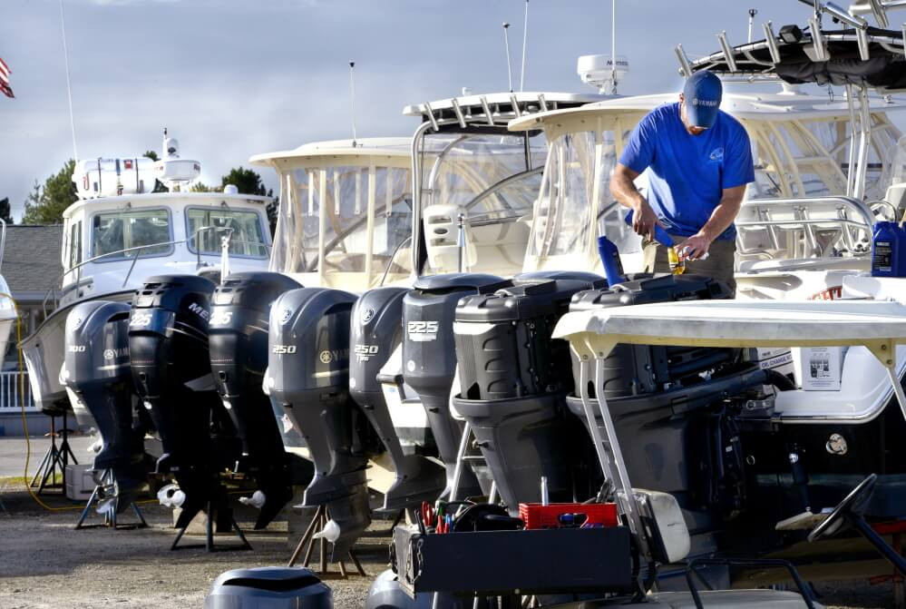
by B.J. Porter (Contributing Editor) Welcome to a new boating season! Those of you in seasonal boating country, about now you will be getting all your ducks in a row for your boats to get back in the water, and that’s great. We all can hardly wait to get out on the water again. Rather […]
by B.J. Porter (Contributing Editor) So maybe our introduction to racing post got you excited enough to find a boat to race on for the season? Congratulations, you’ve made a start. But what happens next? As your first for-real race approaches, what should you expect? What should you bring, wear, and know how to do? […]
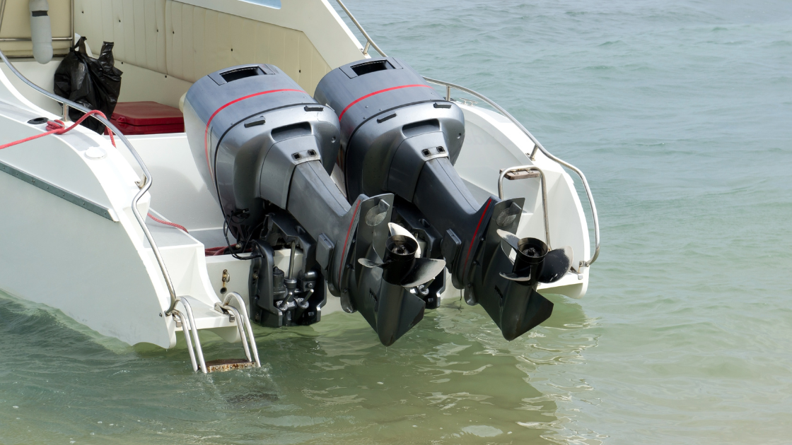
Part I:Boater’s Guide to Engines: The Internal Combustion Engine by B.J. Porter (Contributing Editor) Last month we kicked off a multi-part series on boat engines and propulsion. Since we build on what we learned in the introductory article, it’s worth a read if you haven’t had a look. This month, we’re taking a deeper look […]
