iNavX Get iNavX
The professional boater's navigation app

Turn your iPhone into a
real chartplotter.

Professional-grade navigation, anywhere you boat. iNavX gives you worldwide charts, route planning, live AIS, and GRIB weather in one app — the power tool that makes you a more capable, more confident captain.

4.8★
App Store rating
25+
Chart providers
Free
NOAA US charts
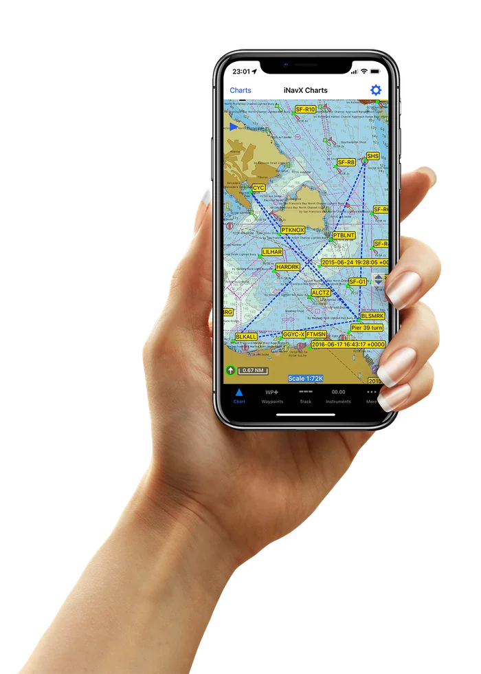
A hand holding an iPhone running iNavX, showing a detailed marine chart of San Francisco Bay with a plotted route and waypoints
Praised by Cruising World Practical Sailor SAIL Magazine Yachting Monthly BoatUS

For boaters who want more control than a basic GPS app — and more flexibility than a dedicated chartplotter.

Basic GPS app

One coastline, one vendor, no depth. Fine until it isn't.

Fixed chartplotter

Thousands of dollars, bolted to one boat, updated rarely.

iNavX

Every chart provider, every device you own, full pro control — for the price of a paper chart.

What you can do

Become a more capable boater.

More control than a basic GPS app. More flexibility than a fixed chartplotter. Here is how iNavX makes every passage safer and more confident — one screen at a time.

01 Your helm, in your pocket

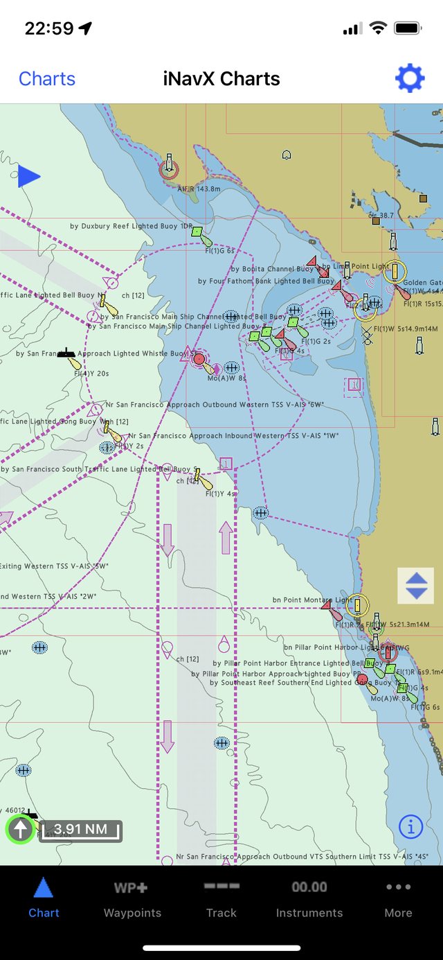
Turn your iPhone into a chartplotter.

Live GPS on high-resolution NOAA and vector charts, with instrument overlays reading speed, heading, and depth. Everything a $2,000 dedicated plotter does — in the device already in your pocket.

  • Live GPS positioning
  • Raster & vector charts
  • Instrument overlays
iNavX chartplotter screen
02 Arrive with a plan

Plan your next route.

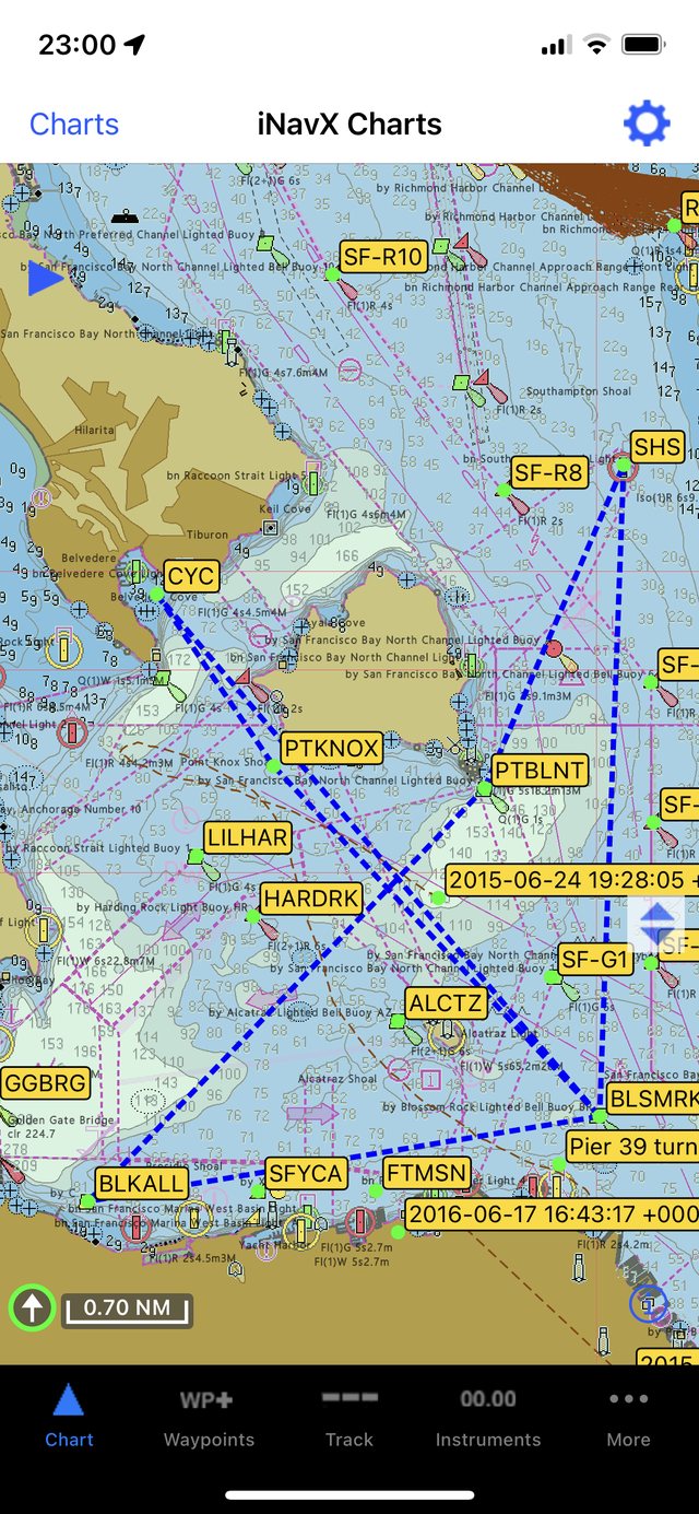
Build multi-leg routes at the dock, check bearing and distance for every leg, then follow turn-by-turn guidance underway. Export to your crew or import a track you already trust.

  • Multi-leg route builder
  • Bearing & distance per leg
  • GPX / KML import-export
iNavX route planning screen
03 See and be seen

Navigate with AIS.

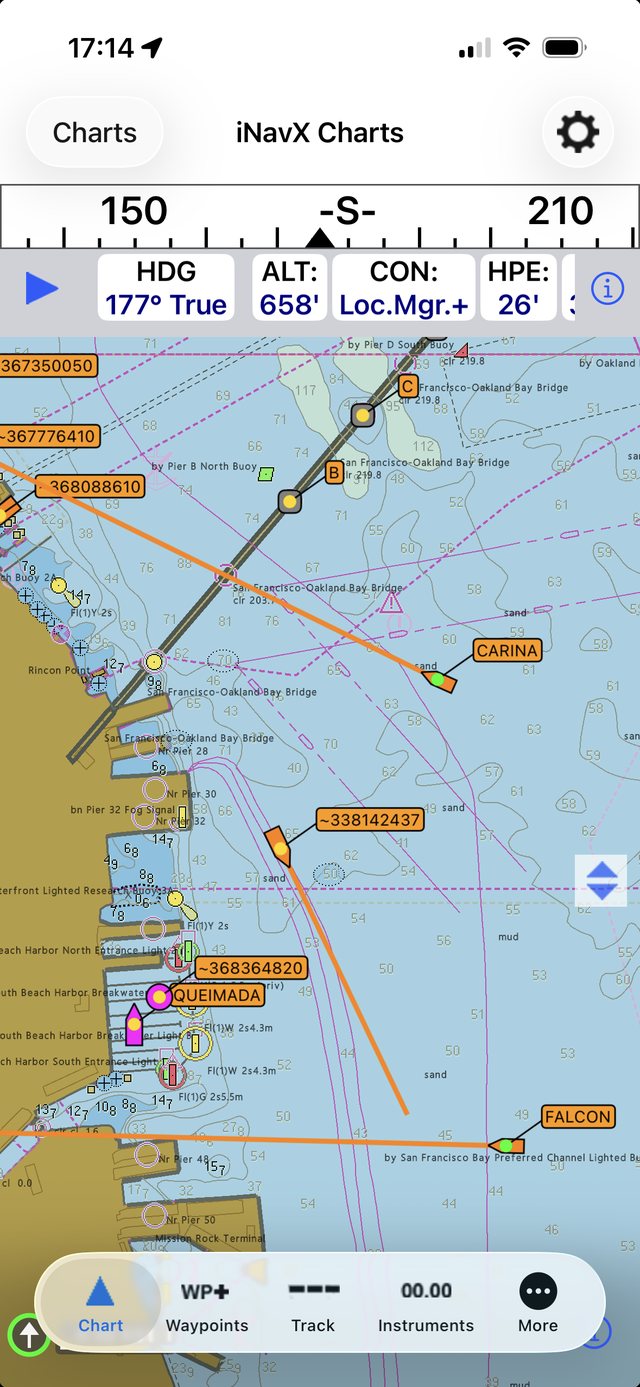
Overlay live vessel traffic on your chart, watch closest-point-of-approach and time-to-CPA update in real time, and get alerted before a situation becomes a risk. Confidence in fog, traffic, and night passages.

  • Live AIS targets
  • CPA / TCPA alarms
  • Vessel detail on tap
iNavX AIS screen with live vessel targets
04 Decide before you leave the dock

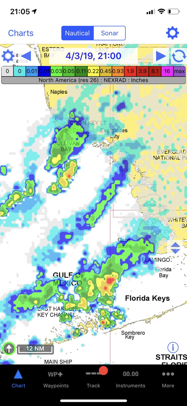
Know the weather before you go.

Download GRIB forecasts for wind, waves, and pressure, and read tides and currents for your exact position. Make the go / no-go call with real data — not a hunch.

  • GRIB wind & wave
  • Tides & currents
  • Route weather routing
iNavX GRIB weather overlay screen
05 Beyond cell coverage

Navigate offline.

Charts live on your device and your GPS works with no signal at all — so you stay oriented miles offshore, in the islands, or anywhere the bars run out. The tool you can rely on when it matters most.

  • Charts stored on device
  • Full offline GPS fix
  • Nothing to lose at sea
iNavX offline chart list screen
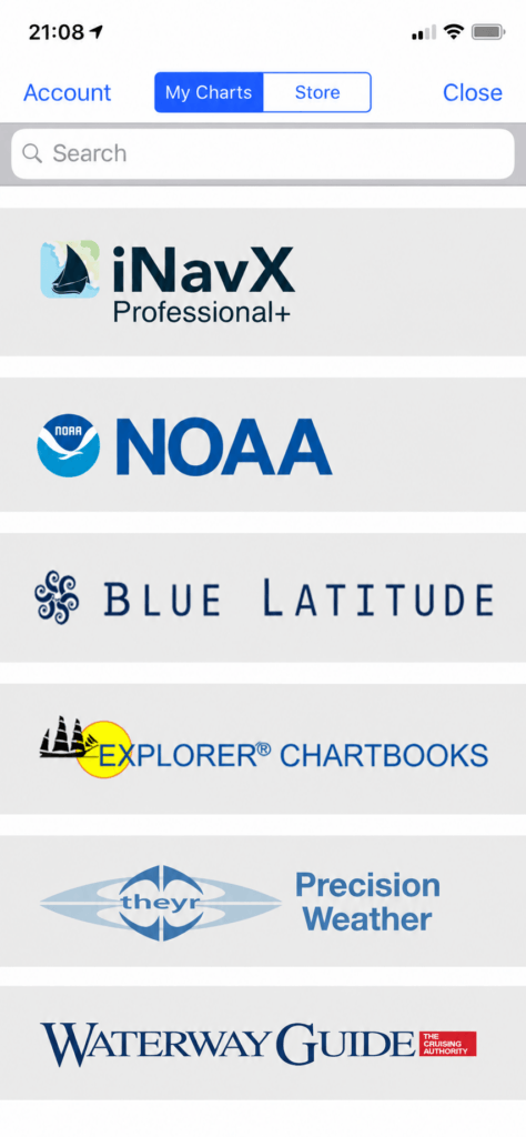
The Chart Store

Charts for every coastline on earth.

Start with free NOAA raster charts for US waters, then add premium charts from the world's leading hydrographic publishers — all inside one seamless in-app store.

Browse the Chart Store →
N
NOAA
Free hi-res US coastal charts
IM
Imray
HO-surveyed global cruising charts
EX
Explorer Chartbooks
The definitive Bahamas chart-set
BL
Blue Latitude
Sea of Cortez & Pacific Mexico
DK
Delius Klasing
European inland & coastal waterways
TH
Theyr
Premium weather & forecast overlays
WG
Waterway Guide
Interactive cruising & boater guides
iNavX Professional Charts Pro
Global Coverage · Vector Charts
Explore iNavX Pro →
Pro-grade under the hood

The control serious captains expect.

Four integrated systems that grow with your skill — from your first harbor entrance to your first blue-water crossing.

01

Advanced Chart Plotter

Plot your live GPS position on high-resolution raster and vector charts. Pan, zoom, rotate, and read depth at a glance — with real-time instrument overlays.

  • Real-time GPS fix
  • Pan · Zoom · Rotate
  • Live instrument overlay
  • Print any chart
02

Advanced Navigation

Build waypoints and multi-leg routes, watch bearing and distance update as you sail, and keep a full track log you can export anywhere.

  • Waypoints & routes
  • Bearing & distance
  • Track logging
  • GPX / KML import-export
03

Advanced Instrumentation

Turn your phone into a repeater. Stream NMEA data over TCP/IP, connect external GPS and AIS, and mirror your MacENC helm.

  • NMEA over TCP/IP
  • External GPS & AIS
  • MacENC repeater
  • Wind · Speed · Depth
04

Essential Toolkit

GRIB weather, tides and currents, anchor and AIS alarms, port search, and a searchable history — the everyday tools that keep you safe.

  • GRIB weather
  • Tides & currents
  • Anchor & AIS alarms
  • Port search
What the press says

The marine world's most awarded navigation app.

"
The most complete marine navigation app you can put in your pocket — a genuine chartplotter, not a toy.
Practical Sailor Editors' Choice
"
iNavX has become the gold standard for tablet and phone navigation among serious cruisers.
Cruising World Gear of the Year
"
For the price of a paper chart, you get a navigation suite that rivals dedicated hardware.
SAIL Magazine Pick
From the cockpit

Trusted on real passages.

★★★★★
"I race offshore and iNavX is the only thing on my phone I trust for backup navigation. Waypoint export to my crew is instant."
Dana Whitfield
Offshore racer · Newport, RI
★★★★★
"Replaced a $2,400 chartplotter on our cruising cat. NOAA charts, GRIB weather, anchor alarm — everything we need in one place."
Marco & Lena Ferris
Cruisers · S/V Meridian
★★★★★
"The instrument repeater over NMEA is flawless. I have wind, speed, and depth at the helm and again below at the nav station."
Capt. Ruth Alvarado
Delivery skipper · Pacific NW
Before you cast off

Frequently
asked.

Still have questions? Our support crew is standing by.

Every new user receives high-resolution NOAA raster charts covering the US West, Gulf, and East coasts, the Great Lakes, Alaska, Hawaii, and the US Virgin Islands — at no cost.

iNavX runs on iPhone and iPad, and on Android phones and tablets. Charts and routes sync across the devices on your account.

Yes. iNavX streams NMEA 0183 and 2000 data over TCP/IP and connects to external GPS, AIS receivers, and instrument networks — including as a MacENC helm repeater.

Absolutely. Charts are downloaded to your device and your GPS fix works fully offline, so you stay oriented far beyond cell coverage.

Your next passage starts here

Download iNavX and get your free NOAA charts.