8 Things You Might Not Know About Charts
October 10th, 2024 by team
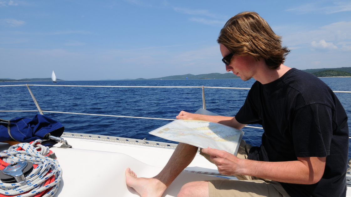
by B.J. Porter (Contributing Editor)
The other day I was reading about navigation and charts, and I came across a detailed bit of information about chart labeling that I was completely unfamiliar with. I’ve used charts for years of course, and started with paper. I thought I knew them well. But here was this silly thing that gave incredibly valuable information right there in front of me, and I didn’t know about it.
So that made me think about other little bits and details that may be available, and how many things we’re all missing because of the hodge-podge ways we’ve picked up information about navigation and nautical charts through experience, reading, and trial and error. This month, let’s explore a few of the more hidden details that aren’t so obvious to the new navigator, as well as a few big things about charts a lot of people may not be on top of. Including that new thing I learned…
Text labels and details mean more than you think

Every mark and label on your chart is significant. But there’s also information encoded in how the text is labelled as well, and these tips will help you get a better read on what you’re sailing through.
Italics Matter
Every object labeled with a name uses either vertical lettering or slanted lettering (or italics). Here’s the important difference – slanted lettering identifies all objects which are affected by tidal changes and/or current. So floating buoys and marks will show as slanted, but fixed daymarks will use straight letters.
This also applies to features like rocks, which are exposed at low tide or visible at all times (straight letters).
If it’s in vertical letters, it will always be there. But if it’s slanted, it’s possible the object is slightly out of position and not completely fixed and can be dragged out of position by tides. Or it disappears at high tide. We once found a rock in what we thought was the middle of a channel that way…

Yeah, that rock, right there. Just a little divot in the lead keel. Buffed right out.
So does UPPER case
It’s not just that some shouty grandpa on Facebook got hold of your charts and wrote on them. Prominent landmarks that aren’t aids to navigation will be LABELLED IN ALL CAPS.
They use purple ink for a reason
Most of the text on your chart is in black, but a few key words and symbols are printed or highlighted in purple ink. The reason is simple – purple ink is easier to read with a red light on at night.
Most offshore sailors use red lights after sunset to preserve night vision, but text can be harder to read and some colors wash out. But that purple ink? It doesn’t fade at all and shows up well if you’re looking at a paper chart.
Your charts may not be as accurate as you think
Charts are very good for navigation, but it’s critical to understand they are far from perfect. Great swathes of the ocean bottom are still un-sounded, because sounding out every inch of the ocean floor still hasn’t been accomplished. There’s too much of it, and we’ve only gotten better tools in the last few decades.
Highly trafficked areas and shipping zones get the most attention and are thoroughly charted, but even a little way away from those, you may stumble on a brand new rock or odd sounding. Hopefully, you don’t find it the hard way…you always need a sharp lookout!
Some soundings and chart data are quite old
Most of the world was explored hundreds of years ago, and early explorers did their best to record sounding and position data as they explored. Captain Cook and his team recorded some of the earliest data for the south Pacific, and much of the world outside the normal shipping routes of the time. But there’s a lot they didn’t get to.
And if there wasn’t a specific survey done since then, those original soundings may still exist in charts today. Because hydrographic offices primarily focus on areas important to commercial and military applications, more remote areas don’t get frequent updates.
And some soundings aren’t very accurate
The first surveys were done with lead lines, sextants, a compass, and a clock. Over time, improvements in technology brought us depth sounders, GPS, and eventually side scan depth sounders.
But the survey follows a grid pattern, and even a side scan sounder only scans a segment of the bottom. So there may be strips of bottom between survey ship passes which don’t get directly scanned, especially in older surveys. While it’s usually safe to assume that the space between two identical soundings is around the same depth, there’s no actual guarantee there’s not a rock or ridge in that gap.
So the accuracy of your charts is only as good as the accuracy of the last survey. And unless that’s fairly recent, there may still be surprises to be found.
Vector charts aren’t more accurate than Raster
Vector chart technology is newer than raster charts and is in many ways superior. While many of us think raster charts are still easier on the eyes, the digital nature of vector charts allows operators to customize the chart display to their needs. And navigation tools can trigger alarms and use the numerical data in a vector chart which they can not with raster.
But the data in the chart isn’t any better.
Vector charts are still not based on brand new survey data. In fact, many of them are manual transcriptions and conversions of raster charts to a digital vector chart database. So the depth sounding and information in the vector chart adds nothing to what’s in the raster chart, it just lets you analyze and view it differently.
NOAA Raster charts are going away. Soon.
The NOAA Office of t Coast Survey is ending raster charts. This has been news for a while, but not everyone has heard it, nor does everyone understand the implications of it.
Paper charts, based on images provided by the U.S. government, will become more difficult to come by. Updates to them will cease to be printed, and eventually your paper charts will become out of date.

This doesn’t mean the chart drawer at your local chandlery will empty overnight, but if you are used to using NOAA Raster charts for your navigation, it will get more difficult to get them.
Most important – they will no longer be reliably available for free downloads on the NOAA website. Even now, the catalog of PDF charts is greatly reduced.
But NOAA has a new nifty custom chart tool…
While you can’t download a free NOAA chart by number anymore, you can use their new tool to create custom PDF charts for printing and screen use with this link.
https://devgis.charttools.noaa.gov/pod/
This generates a fixed, printable chart from vector chart data, so you can use their tool to customize charts for your needs. Customize units, scale, region, depth zone shadings and so on, and even add a compass rose with the right variation.
And it puts all the right information, warnings, notes, dates and data in the right places.

October 16, 2024 at 2:03 pm, Stephen Costalos said:
Great info. Well written. Thank you
October 20, 2024 at 2:13 pm, Chris Rankin said:
Things are just taken for granted anymore, thank you for the explanations and updates.
July 24, 2025 at 3:32 pm, Laura said:
Our version doesn’t seem to have any text labels despite searching for the option. Where am I going wrong? Have trawled through chart settings extensively.
October 15, 2025 at 10:41 pm, Rich Simcoe said:
Don’t forget it’s ok to use both simultaneously but STILL keep a look-out.
Get a copy of Chart No. 1