Interview with Chris Woolsey
June 16th, 2020 by team

by B.J. Porter (Contributing Editor)
My iNavX Experience
We’re introducing a new occasional feature on the iNavX blog – interviews and discussions with real users.
We hope sharing their iNavX stories will give you new ideas about how our software can be used.
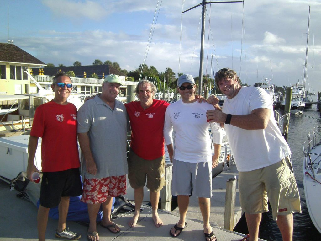
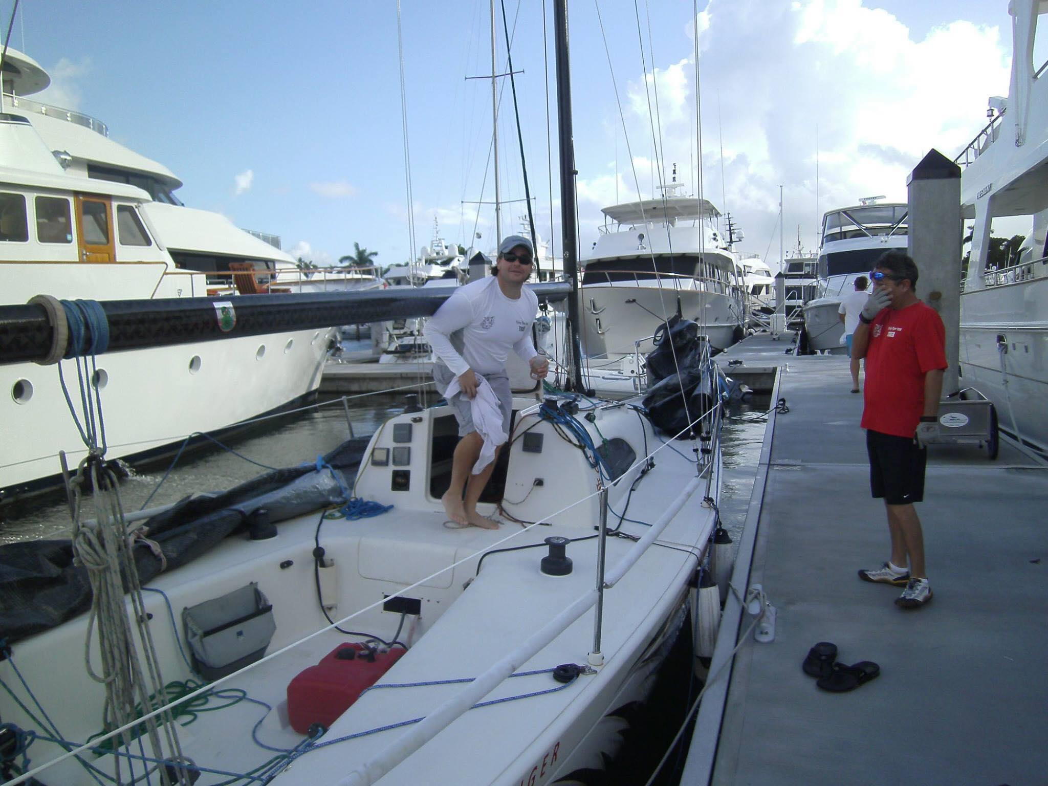
When I mentioned I’d be writing for iNavX to a friend of mine, he got excited and told me used the software “all the time.” When we decided to do a series of “My iNavX Experience” interviews with actual users, Chris Woolsey seemed like the guy to start with. Chris is very active on the racing and sailing scene in Florida, and has a lot to say to us about his experiences.
Before we jump into the interview with Chris, please let us know if you would like to share your story as well. Send us an email at support@inavx.com and we’ll follow up with you shortly to schedule a quick interview.
Interview with Chris Woolsey
iNavX: To start, can you tell us a little about your sailing experience, and what you are currently sailing on?
Chris Woolsey: I have been sailing for about 50 years now, starting out with cruising on our family’s Charley Morgan designed Columbia 40 and Morgan 41 centerboarders before moving on to the precursor to the Opti, the Clearwater Optimist Pram. The latter laid the foundation for a lifetime of racing, but the former did the groundwork for my navigation skills.
iNavX: Where did you get serious about navigation?
Chris: I grew up in South Florida, so when the family went cruising, we went to the Florida Keys (every once in a while) or the Bahamas (usually). Those early days were not just pre-GPS, they were pre-Loran C. We did have a Loran A on the boat (get the lines parallel on the screen to get a fix), and a Radio Direction Finder (RDF) which was an interesting device. I can still hear the sound of the Bimini beacon to this day (–.. -… -…) . That could get you a decent bearing, but a fix was another issue. Suffice to say, my dad did a lot of Dead Reckoning, and even with the current of the Gulf Stream thrown into the mix, was remarkably good at it. This taught me to keep a good log, and keep track of everything on paper as well as electronically. Of course, that one RDF bearing would help to check the accuracy of our plots.
iNavX: What kind of sailing do you do these days?
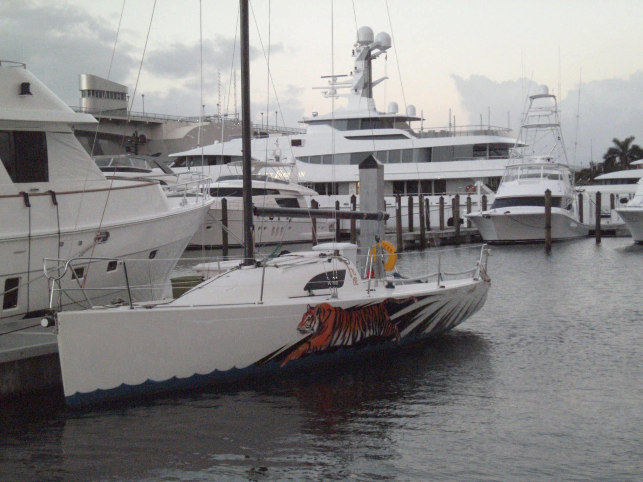
Chris: I now live on the St. John’s River in NE Florida, in a little town that reminds me of Ft. Lauderdale when I was a kid. Officially, I am an attorney who races and does race management on the side. I have a couple of boats I race on in South Florida, a Swan 53 and a Little Harbor 54. I am part of a team that does the Chicago Mackinac Race every year, the next one will be on a new boat for the crew, a J111. I race with other teams on occasion, most recently on the legendary Merlin in the Inaugural Eleuthera Race (from South Beach Miami to the Cape Eleuthera Resort) and last summer’s Trans-Superior Race on a C&C 35 with a group of our Mac Race guys. Locally, I sail on a number of smaller keelboats on the river here in Palatka. When not racing, I do more and more race management, both here on the river and in South Florida as part of the SORC. I use iNavX for all of those activities.
iNavX: Do you use iNavX for your primary navigation, as a backup, or as a supplement to the systems on the boats you race on?
Chris: The boats that I navigate offshore usually have their own systems; I communicate with Expedition running with C-Map charts, as well as raster charts. On these boats, I keep an iPad with iNavX running as a backup. It will have the same route set up as I have in Expedition. I use it frequently to check my work. The Gulf Stream effects any offshore race in South Florida. For the Ft. Lauderdale to Key West Race, it provides the outer boundary of the race course, competitively speaking. On the other hand, it is significantly less punishing than the other boundary of the course, the reefs of the Florida Keys. The trick is to get the inside lane, but not too-inside. There is another reason for this, namely sailing the shortest course along a long curve. In that scenario, I can check positioning in real time while looking at the C-Map charting by verifying with the raster chart in iNavX.
iNavX: How do you use it for race committee work?
Chris: I recently navigated Merlin in the inaugural Miami to Eleuthera Race. I was also Race Chairman for that race (more on that later). For years, when cruising in the Bahamas, I relied on the Explorer Chart kits. Using those in iNavX provides a great security blanket, especially when supplemented with the hard copy chart kits. This was no different.
I even found a longitude issue in the charts when wearing my Race Chairman hat, setting up the course waypoints for our race tracking page. When I set up a race as race manager, I use iNavX to establish the waypoints to show on the tracking page, but also for drafting safe sailing instructions. We cannot have any of our competitors put in harm’s way because of our instructions.
Speaking of race management issues… I work with the Southern Ocean Racing Conference, SORC, which organizes an offshore series every winter. One thing I do in advance of our races is check the Local Notice To Mariners and USCG Light List to identify any issues with the marks of our course. I use iNavX as part of this process. For example, I can follow along the course of the Ft. Lauderdale to Key West Race, and check every mark along the way against the NTM to verify that they are all functioning, and to bring those which are not to competitors’ attention, along with the location and other information.
Moving from offshore to inshore, I am becoming more and more involved in racing on the St. John’s River in North Florida. I live just outside of Palatka now, and am responsible for most of the race management for the Rat Island Yacht Club. These are mostly just little buoys races, with some distance work thrown in, where we send the fleet up or down river, around a mark and back. I safety check all of those races, and determine course length by using iNavX. When I do get out and race on the river, navigation is exclusively via iNavX on my iPhone. I was part of a winning crew on the Cal 29 “Cheyenne Pepper” in the spinnaker fleet for the 2019 Mug Race, from Palatka to Jacksonville. I was having some muscular issues with my back, so my sole job was to sit still on the cabin top, and navigate/call tactics. The river flows north, so an important part of that race is finding current and staying in it, while sailing the shortest possible course. iNavX was my sole navigational tool for the owner’s first big regatta win.
iNavX: Are there any other ways you use iNavX?
Chris: Those are some of the ways that I use iNavX on any given day. That is not the complete list. Today I viewed iNavX when I got the news that the Miami to Key Largo Race had been rescheduled for next weekend, to check the depths on the west side of Biscayne Bay to see if we can get through there with a new-to-me E-Scow, shaving some good distance off of the regular course that other boats have to take. I use it for a bevy of tasks, from the technical to the mundane.
iNavX: Is there any particular feature you rely on, or that you think makes us stand out from other software?
Chris: I don’t really have a favorite feature from iNavX, but I sure do love the Explorer Charts for the Bahamas. The added features in those charts, over and above what you get with NOAA raster charts, are worth the cost and then some. It really helps with checking my work in Expedition, to confirm that I have us on track.
For safety, I am usually going to be the radio operator for any operation in which we are involved. I will usually have someone briefed on the functions in case I am otherwise involved and cannot cover the nav/communications station.
iNavX: How can we make the product better? Is there anything on your wish list for a future release?
Chris: A feature I would love to see would be the electronic equivalent of a pair of calipers, for measuring distance and putting together course lengths when I am doing race committee on the river. At present, I have waypoints of the various markers we use, and create waypoints when we set an inflatable mark, then create a route for the entire course and get distance from that. Being able to slap calipers on each leg individually and add up the distance of each leg would cut that time down by a bunch, allowing me to crunch race results quicker.
I really would not change too much. I like it and I use it with great regularity.
Please join us in thanking Chris for his time and being the first iNavX user to be interviewed.
Again, if you could like to share your story as well, please send us an email at support@inavx.com.

Leave a Reply