Waterway Guide – Southern
Waterway Guide – Southern Edition
Coverage includes but is not limited to:
- Waterway Guide South (St. John’s River – Brownsville) chart enhancement overlay for iNavX (iOS / Android)
- The Waterway Guide Southern editionis a companion for any type of chart, a data overlay of indispensable cruising information for boaters exploring the Florida’s East coast, the St. John’s River, the Okeechobee Waterway, the Keys, Florida’s West coast and the Gulf of Mexico to Brownsville, Texas.
Coverage Summary:
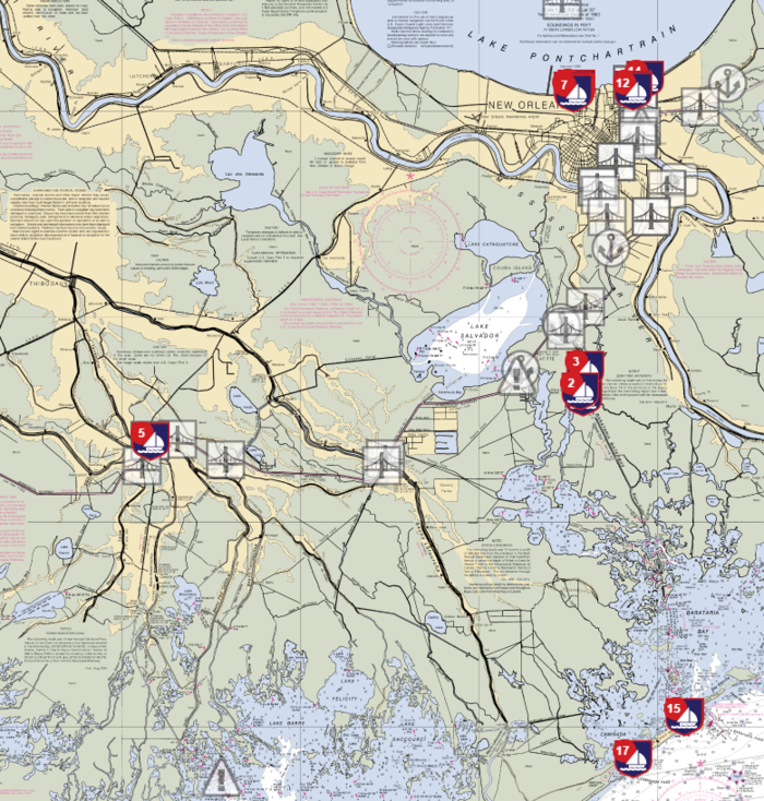
- When you tap on a Waterway Guide icon, a pop-up display specific information, details and services. Our Featured Marinas also provide photos to assist with approach and docking. Data provided may include:
- Contact information
- Largest vessel accommodated
- Number of transient slips
- Approach/dockside depths
- Electrical (amps)
- Internet access
- Ship Store
- Showers, pump-out service, laundry
- Gas/diesel
- Marine supplies
- Courtesy car
- Haul-out capabilities
- Repairs
