Waterway Guide: 7-in-1 Bundle
Waterway Guide: 7-in-1 Bundle
Coverage includes but is not limited to:
- The Waterway Guide 7-in-1 bundle edition is a companion for any type of chart, a data overlay of indispensable cruising information for boaters exploring in several regions of the USA, Bahamas and Cuba.
- This compendium of Waterway Guide regions includes data coverage of all the regions listed below:
- The Great Lakes + more (includes inland portions of the Great Loop Cruise from New York to the Great Lakes and from Chicago to the Gulf of Mexico)
- Northern (New England coastal, ie. Cape May to Cape Cod, including Hudson River)
- Atlantic ICW (Norfolk VA to the border of Florida)
- Chesapeake Bay
- Southern (including Gulf ICW, Florida east, St. John’s River, Okeechobee Waterway, The Keys, Florida west and Gulf of Mexico to Brownsville Texas)
- The Bahamas
- Cuba (including some data overlap with Florida and Bahamas)
Coverage Summary:
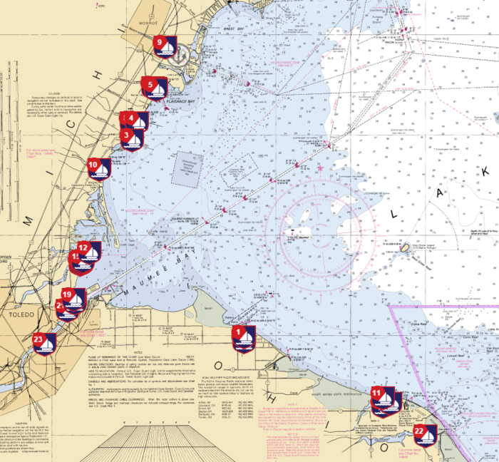
- When you tap on a Waterway Guide icon, a pop-up display specific information, details and services. Our Featured Marinas also provide photos to assist with approach and docking. Data provided may include:
- Contact information
- Largest vessel accommodated
- Number of transient slips
- Approach/dockside depths
- Electrical (amps)
- Internet access
- Ship Store
- Showers, pump-out service, laundry
- Gas/diesel
- Marine supplies
- Courtesy car
- Haul-out capabilities
- Repairs
