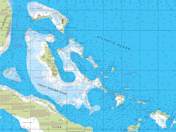
Explorer Chartbooks – Bahamas
Explorer Chartbooks – Bahamas
Coverage includes but is not limited to:
- Quilted charts of Exumas, Ragged Islands, Far Bahamas, Turks & Caicos, and Near Bahamas
- The Explorer Team has consistently provided the best navigational charts and cruising guide information with superior research, more data, and greater accuracy than any other source for cruising in the Bahamas.
- To provide for your navigational needs, Explorer Chartbooks include:
- Up-to-date large-scale and small-scale charts
- Accurate data
- Beautiful intuitive colors
- Harbor closeup charts
- Topographical features with shoreside facilities, landmarks, roads, and elevation contours
- Extensive spot soundings

Coverage Summary:
- While connected to the Internet, pan and zoom within the coverage area to download chart graphics at a given scale. Anything downloaded and viewed is saved for later offline use. Because the Explorer Chartbooks in iNavX are shown as a single contiguous view, there is no need to memorize and look up adjacent chart numbers; and the next area and scale of chart slides into place as your boat’s GPS position changes


