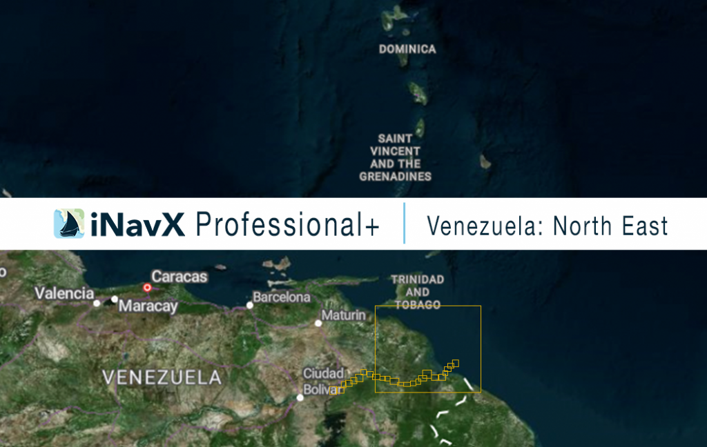
The iNavX Professional+ Vector Charts of Venezuela (North East) delivers hi-res vector charts for Venezuelan coastal waterways. The chart sources are based on ENC and additional sources published by Venezuelan Hydrographic Office and other providers. The iNavX Professional+ Vector Charts of Venezuela (North East) Chart is updated periodically in cadence with Venezuelan Hydrographic Office ENC updates.
Coverage includes and is not limited to:
– Orinoco River
ENC data supplied by Siitech Marine Inc.
