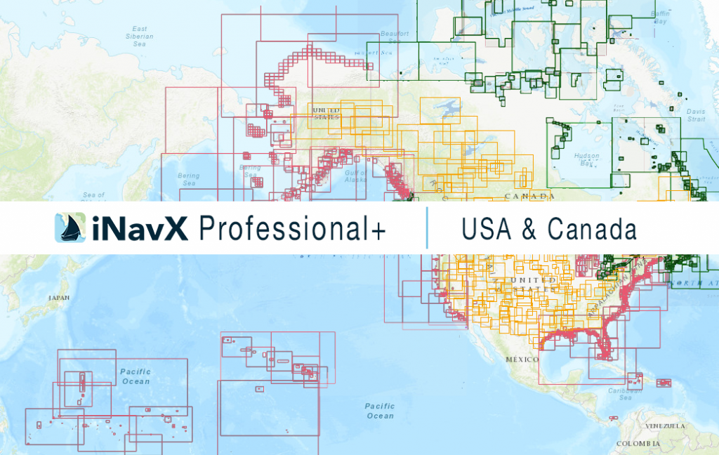
The iNavX Professional+ USA & Canada Chart delivers hi-res vector charts for US and Canada waterways. The chart sources are based on ENC and additional sources published by NOAA, CHS and other providers. The iNavX Professional+ USA & Canada Chart is updated periodically in cadence with NOAA and CHS ENC updates.
Coverage includes and is not limited to
** NOW ** with complete coverage of all inland lakes and waterways.
- For the USA:
- ocean coastal waterways,
- State by State inland rivers and waterways
- Includes Alaska, Hawaii, and Puerto Rico
- For Canada:
- Pacific Coast,
- Atlantic Coast,
- Great Lakes,
- Hudson By
- and the Arctic.
ENC data supplied by Siitech Marine Inc.
