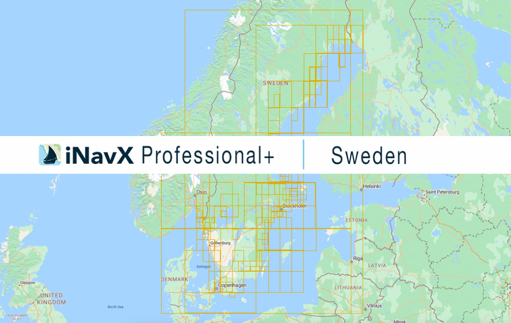
The iNavX Professional+ Vector Charts of Sweden delivers hi-res vector charts for Coastal and Inland waterways. The chart sources are based on ENC and additional sources published by the Swedish Marite Administration and other providers. The iNavX Professional+ Sweden Chart is updated periodically in cadence with ENC updates.
Coverage includes and is not limited to:
- Entire Sweden Coastline from Haparanda to Stromstad
- Includes Stockholm, Goteborg and Blekinge Archipelagos
- Inland lakes include but are not limited to Glafsfjorden, Glan, Hjälmaren, Lelång, Mälaren , Öljaren, Östra Silen, Roxe, Silen, Sommen, Stora Le, Vänern, Vastra and Vättern.
ENC data supplied by SiiTech Inc.
