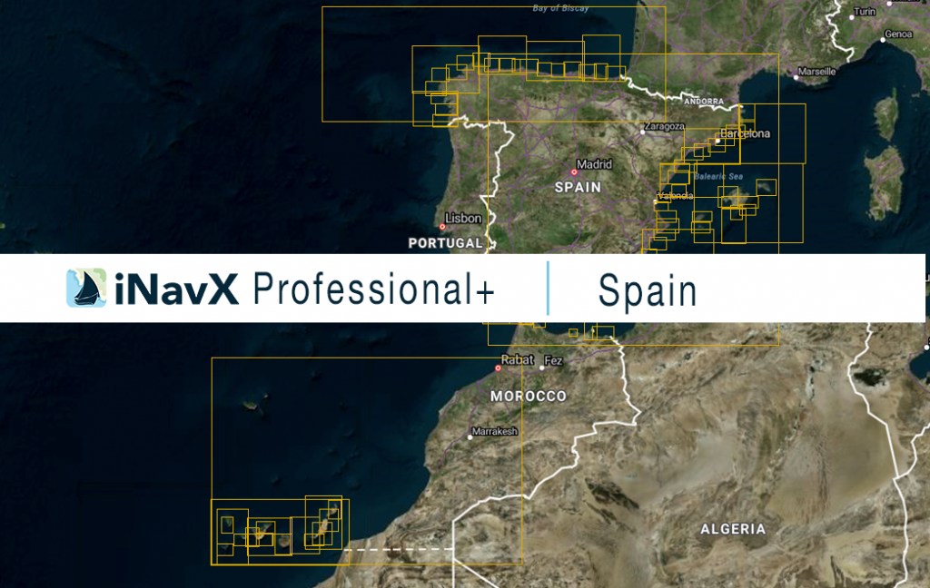
The iNavX Professional+ Spain Chart delivers hi-res vector charts for the entire coastal waterways of Spain including the Canary Islands. The chart sources are based on ENC and additional sources published by the Instituto Hidrográfico de la Marina and other providers. The iNavX Professional+ Spain Chart is updated periodically in cadence with ENC updates.
Coverage includes and is not limited to:
– the entire coastal waters of Spain
– the Canary Islands, including Tenerife
– Gibralta
– Ibiza
– Mallorca
ENC data supplied by Siitech Marine Inc.
