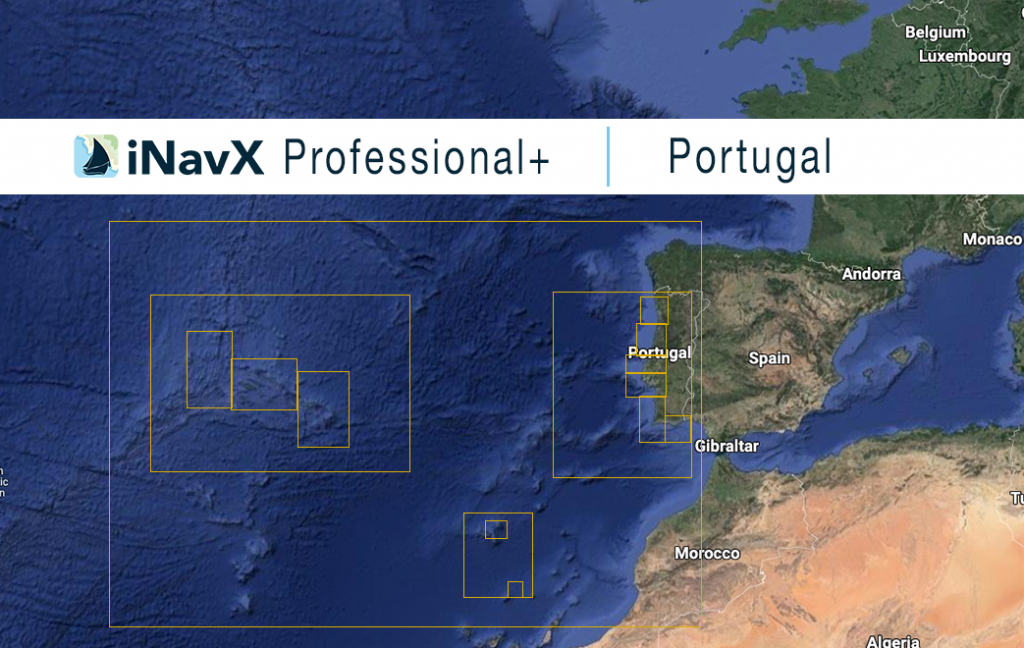
The iNavX Professional+ Portugal Chart delivers hi-res vector charts. The chart sources are based on ENC and additional sources published by the Hydrografico Marinha Portugal and other providers. The iNavX Professional+ Portugal Chart is updated periodically in cadence with ENC updates.
Coverage includes and is not limited to Continental Portugal, Acores and Madeira Archipelago.
ENC data supplied by Siitech Marine Inc.
