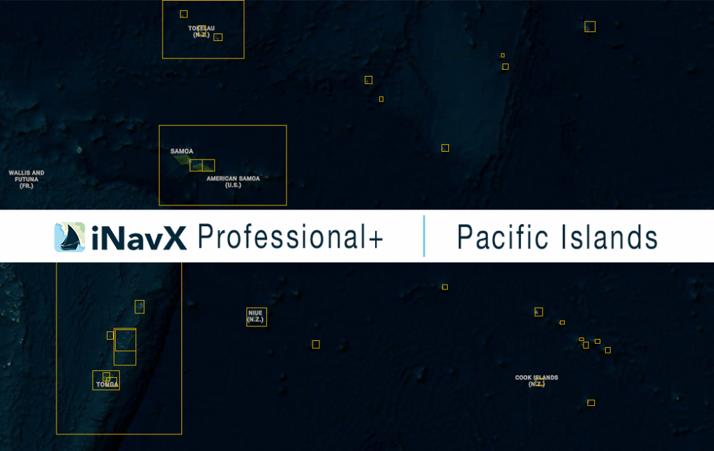
The iNavX Professional+ Vector Charts of the Pacific Islands delivers hi-res vector charts for a collection of the Pacific Islands. The chart sources are based on ENC and additional sources published by Hydrographic Offices and other providers. The iNavX Professional+ Pacific Islands Chart is updated periodically in cadence with ENC updates.
Coverage includes and is not limited to:
– Cook Islands
– Niue
– Tokelau
– Tonga
– Samoa
ENC data supplied by SiiTech Inc.
