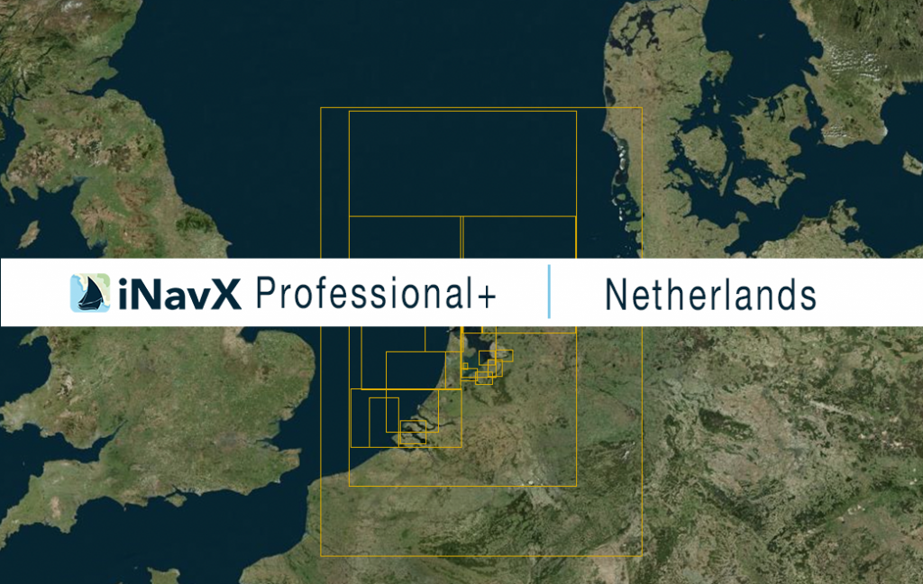
The iNavX Professional+ Netherlands Chart delivers hi-res vector charts for Dutch waterways. The chart sources are based on ENC and additional sources published by the Hydrographic Service of the Royal Netherlands Navy and other providers. The iNavX Professional+ Netherlands Chart is updated periodically in cadence with ENC updates.
Coverage includes and is not limited to the North Sea, the Westerschelde, the Canal door Walcheren, the Dutch Coast, Port of Rotterdam, Dordrecht and the Noord, Port of Moerdijk, Port of Scheveningen, Port of Ijmuiden, the Noordzeekanaal with the Port of Amsterdam, the Waddenzee and the complete Dutch part of the North Sea.
ENC data supplied by Siitech Marine Inc.
