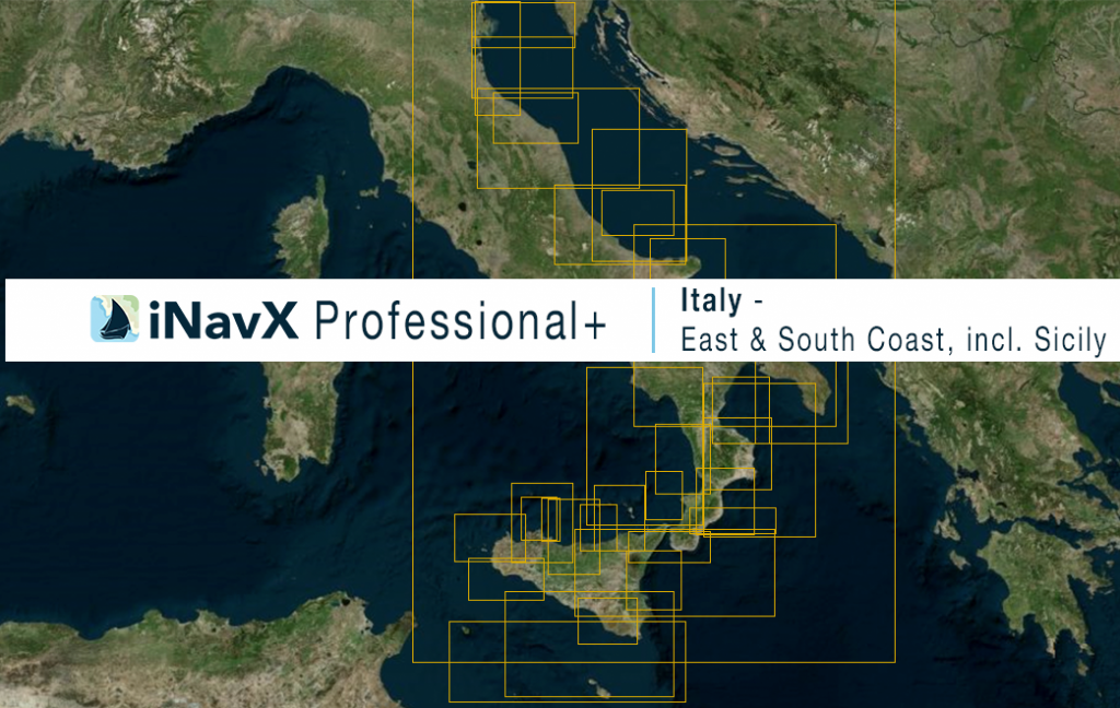
The iNavX Professional+ Italy (East and South Coast Including Sicily) Chart delivers hi-res vector charts for the entire coastal waterways of the East & South Coasts of Italy including Sicily. The chart sources are based on ENC and additional sources published by the Italian Hydrographic Institute and other providers. The iNavX Professional+ Italy (East and South Coast Including Sicily) Chart is updated periodically in cadence with ENC updates.
Coverage includes and is not limited to:
– the entire coastal waters of the East and South Coasts of Italy Sicily
– the Adriatic Sea
– the Ionian Sea
– the Mediterranean Sea
ENC data supplied by Siitech Marine Inc.
