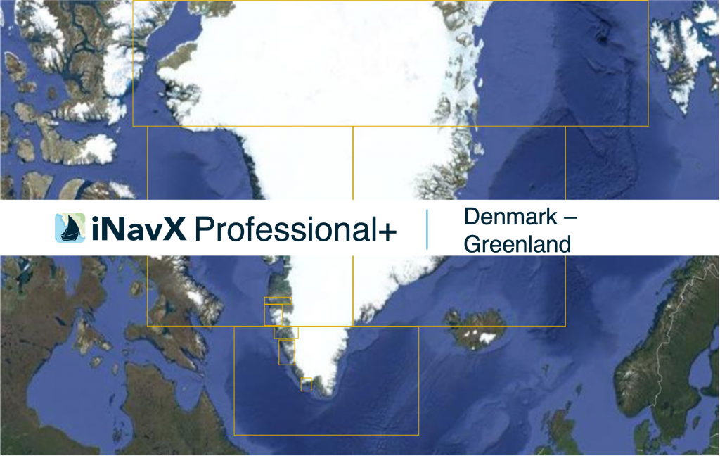
The iNavX Professional+ Greenland Chart delivers hi-res vector charts for Greenland Coastal waterways. The chart sources are based on ENC and additional sources published by the Danish Geodata Agency and other providers. The iNavX Professional+ Greenland Chart is updated periodically in cadence with ENC updates.
Coverage includes and is not limited to General, Coastal, Approach and Harbor areas.
ENC data supplied by Siitech Marine Inc.
