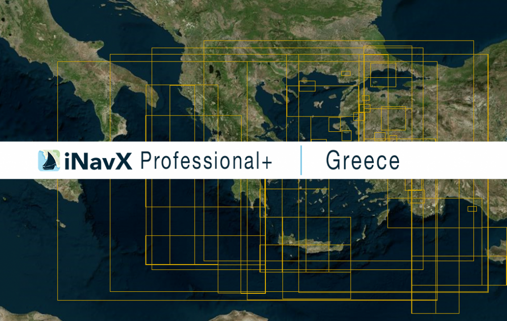
The iNavX Professional+ Greece Chart delivers hi-res vector charts for Greece waterways. The chart sources are based on ENC and additional sources published by the Hellenic Navy Hydrographic Service and other providers. The iNavX Professional+ Greece Chart is updated periodically in cadence with ENC updates.
Coverage includes and is not limited to:
- Coastal waters of Greece
- Crete
- Hellenic Islands of Aegean Sea
- Ionian Islands and Ionian Sea
- Mediterranean Sea
ENC data supplied by Siitech Marine Inc.
