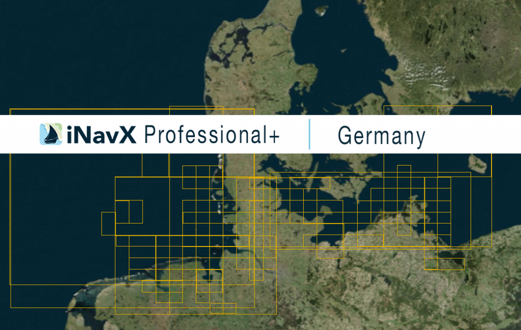
The iNavX Professional+ Vector Charts of Germany delivers hi-res vector charts for the Coastal waterways of Germany. The chart sources are based on ENC and additional sources published by the Federal Maritime and Hydrographic Agency of Germany and other providers. The iNavX Professional+ Germany Chart is updated periodically in cadence with ENC updates.
Coverage includes and is not limited to:
– the entire German Coastline including the North Sea and the Baltic Sea
– Includes Bremerhaven, Hamburg, Kiel and Rostock
ENC data supplied by SiiTech Marine.
