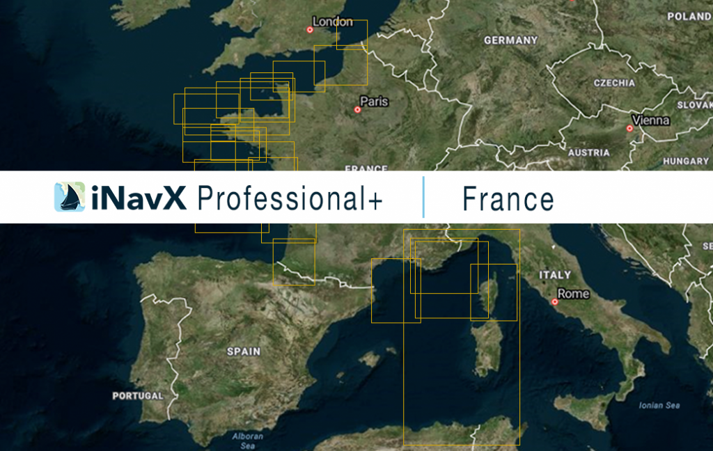
The iNavX Professional+ France Chart delivers hi-res vector charts for the entire coastal waterways of France including the English Channel, Bay of Biscay, the Mediterranean and the Island of Corsica. The chart sources are based on ENC and additional sources published by SHOM the French Naval Hydrographic and Oceanographic Service and other providers. The iNavX Professional+ France Chart is updated periodically in cadence with ENC updates.
Coverage includes and is not limited to:
– the entire coastal waters of France
– the English Channel
– the Bay of Biscay
– the Mediterranean Sea
– the island of Corsica
ENC data supplied by Siitech Marine Inc.
