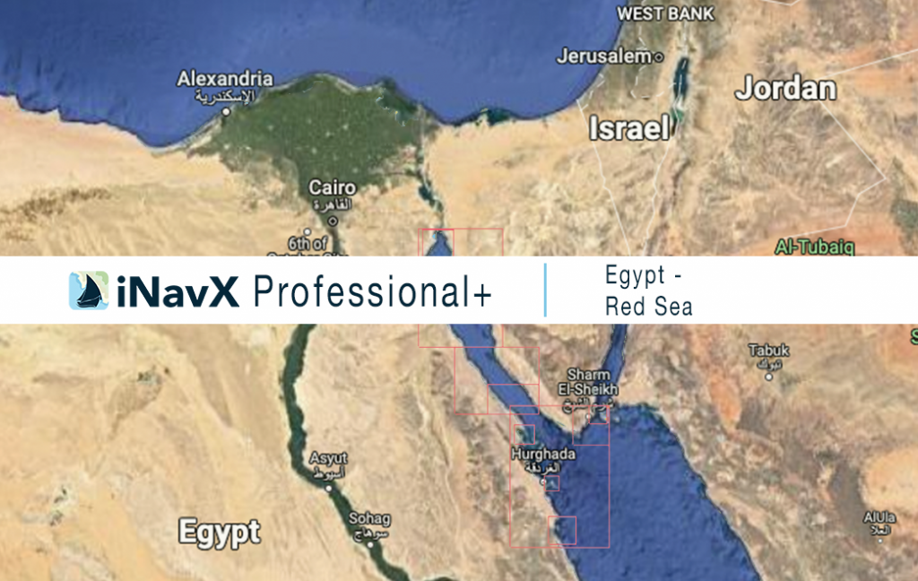
The iNavX Professional+ Egypt (Red Sea) Chart delivers hi-res vector charts for the Red Sea. The chart sources are based on ENC and additional sources published by the Egyptian Navy Hydrographic Department offices and other providers. The iNavX Professional+ Egypt (Red Sea) Chart is updated periodically in cadence with ENC updates.
Coverage includes and is not limited to the Red Sea including Port of Suez and approaches to Ras Banas.
ENC data supplied by Siitech Marine Inc.
