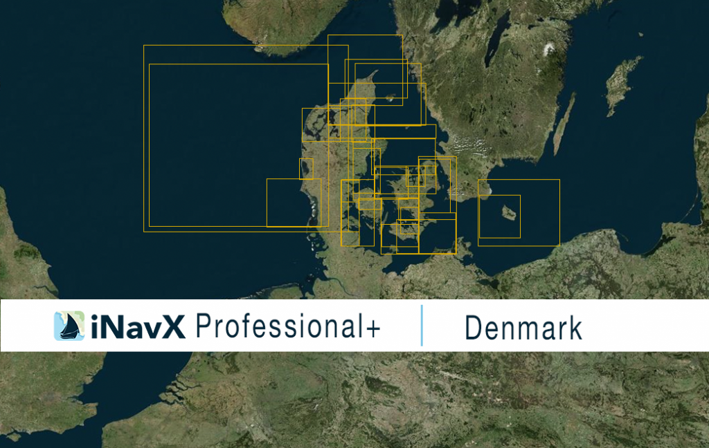
The iNavX Professional+ Denmark Chart delivers hi-res vector charts for Denmark Home Waters. The chart sources are based on ENC and additional sources published by the Danish Maritime Authority, the Danish Geodata Agency and other providers. The iNavX Professional+ Denmark Chart is updated periodically in cadence with ENC updates.
Coverage includes and is not limited to North Sea, Kattegat and Limfjorden, Sound, Great Belt, Little Belt, the Waters South of Sjaelland, the Waters South of Fun, and the Baltic Sea.
ENC data supplied by Siitech Marine Inc.
