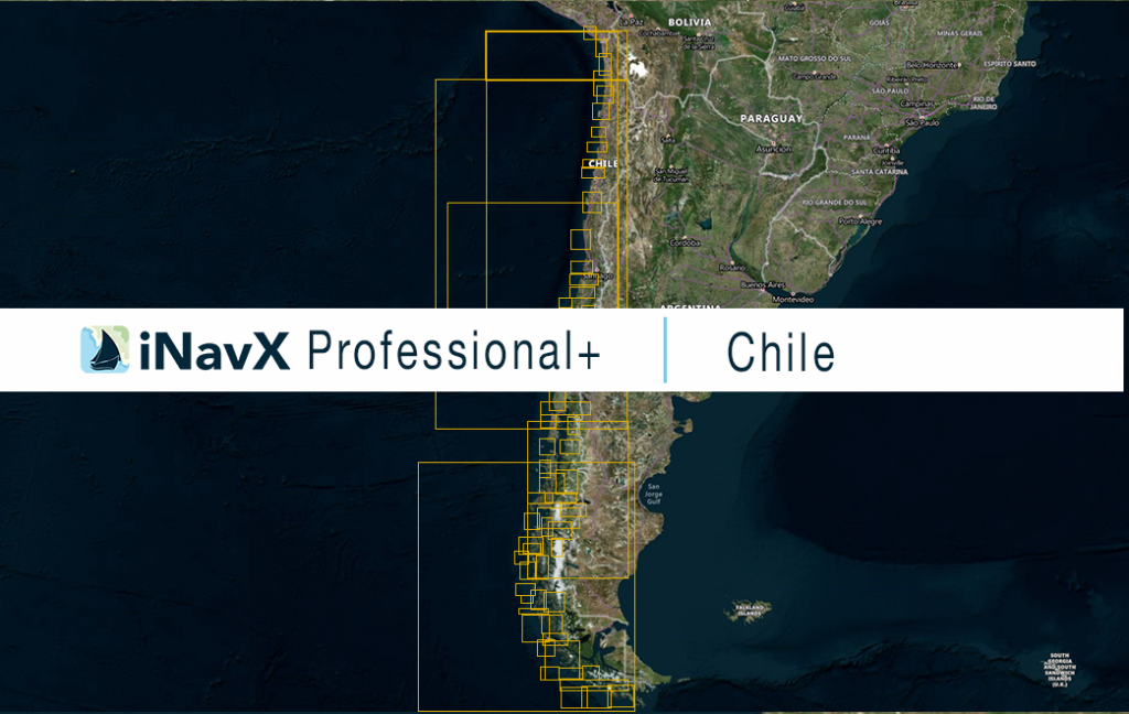
The iNavX Professional+ Chile Chart delivers hi-res vector charts for the entire coastal waterways of Chile. The chart sources are based on ENC and additional sources published by the Servicio Hidrográfico y Oceanográfico de la Armada de Chile and other providers. The iNavX Professional+ Chile Chart is updated periodically in cadence with ENC updates.
Coverage includes and is not limited to the entire coastal waters of Chile.
ENC data supplied by Siitech Marine Inc.
