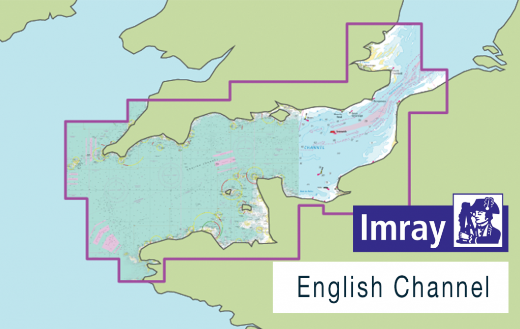
This new release of Imray Digital Charts covers the English Channel.
Published in England, Imray charts are based on the latest licensed Hydrographic Office surveys alongside unique information sourced from Imray’s network of experts, local sources, and experienced mariners. Navigators will appreciate Imray’s familiar paper chart colours, and can navigate confidently with IMO-approved symbology.
Coverage includes, but is not limited to:
– the English Channel
– the southern coast of the UK
– the northern coast of France from Calais to Roscoff including Guernsey and Jersey
ENC data supplied by Siitech Marine Inc.
