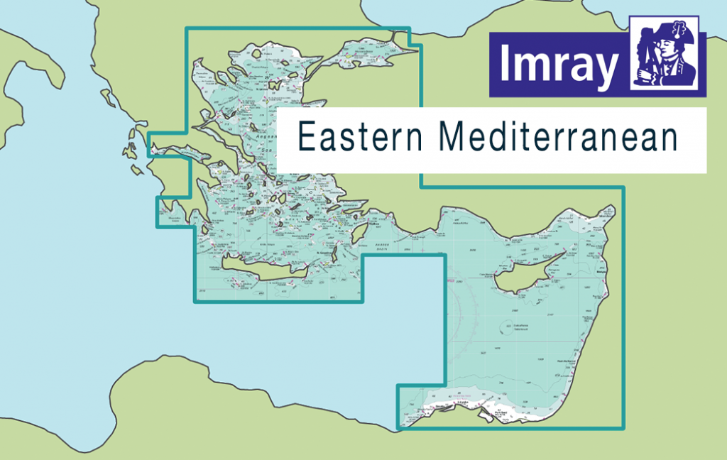
This new release of Imray Digital Charts covers the Eastern Mediterranean Sea including the Aegean Sea and Turkey.
Published in England, Imray charts for the Eastern Mediterranean are based on the latest licensed Hydrographic Office surveys alongside unique information sourced by cruising guide authors Rod and Lu Heikell, plus that from Imray’s network of experts and local sources. Navigators will appreciate Imray’s familiar paper chart colours, and can navigate confidently with IMO-approved symbology.
Coverage includes, but is not limited to:
– Western Mediterranean Sea
– Coast of Turkey, Syria, Lebanon and Cyprus
– Egypt to Israel, Lebanon and the Aegean Sea
ENC data supplied by Siitech Marine Inc.
