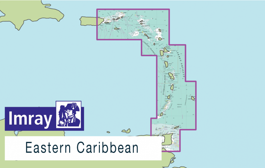
This new release of Imray Digital Charts covers the Eastern Caribbean including the Virgin Islands, Leeward and Windward Islands, Barbados and Tobago.
Published in England, Imray charts for the Eastern Caribbean are based on the latest licensed Hydrographic Office surveys alongside unique information sourced by the legendary cruising sailor Don Street Jr, plus that from Imray’s network of experts and local sources. Navigators will appreciate Imray’s familiar paper chart colours, and can navigate confidently with IMO-approved symbology.
Coverage includes, but is not limited to:
– Eastern Caribbean
– Virgin Islands
– Leeward and Windward Islands
– Barbados
– Tobago
ENC data supplied by Siitech Marine Inc.
