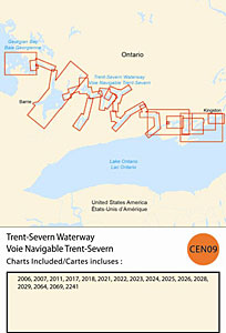
CHS: RM-CEN09 Trent-Severn Waterway
Coverage includes but is not limited to:
- Covers Kingston to Midland including Port Severn, Orillia, Trenton and the Murray Canal.
- Contains Raster Navigation Charts (RNC) in BSB v3.0 format of the following paper charts:
- 2006, 2007, 2011, 2017, 2018, 2021, 2022, 2023, 2024, 2025, 2027, 2028, 2029, 2064, 2069, and 2241.