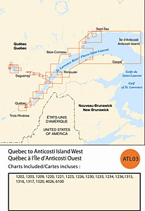
CHS: RM-ATL03 Quebec to Anticosti Island
Coverage includes but is not limited to:
- Covers from Quebec City to Anticosti Island West including Saguenay River, Sept – Iles and navigable harbours.
- Contains Raster Navigation Charts (RNC) in BSB V3 format of the following paper charts:
- 1202, 1203, 1209, 1220, 1221, 1223, 1226, 1230, 1233, 1234, 1236, 1315, 1316, 1317, 1320, 4026, and 6100